Huaraz is one of the best places in Peru for hiking, but figuring out the best hikes near Huaraz is honestly the hardest part when you start planning your trip. There’s just too much in every direction, and everything looks worth it.
Surrounded by the snow-covered peaks of the Peruvian Cordillera Blanca, Huaraz has some of the most spectacular hikes in Peru. I visited Huaraz in July 2025, and before arriving, I spent a lot of time researching the best hikes near Huaraz. The Huayhuash Trek was the main reason we came. It was the adventure I was most excited about. Everything else around it was planned as extra time for acclimatisation and exploring some of the day hikes nearby.
What stood out after actually being there is that the “best hike near Huaraz” depends completely on what you want from the mountains. Laguna 69 is the classic high-altitude bucket-list day hike everyone talks about, while Laguna Parón is massive and almost unreal, but the hike is surprisingly easy compared to how gorgeous it looks in photos. Laguna Rocotuyoc and Laguna Congelada were something I only really heard about after arriving. These two lakes are less polished and more local in a way that feels underrated. And then the multi-day treks like Huayhuash and Santa Cruz.
So this guide is basically what I wish I had before getting there. A real breakdown of the best hikes near Huaraz, from short day hikes to full multi-day treks. It’s written from actually being there, adjusting plans, and seeing how everything fits together on the ground.
I’ll also go into the practical stuff people usually underestimate: altitude, transport, entrance fees, tour vs independent options.
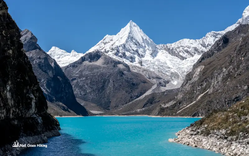
Best Day Hikes near Huaraz
Let’s start with the best day hikes around Huaraz. Here’s a quick comparison of the main options, including distance, difficulty, altitude, time needed, and what each hike actually feels like.
Pick the one that fits your trip, then scroll down for the full breakdown of each trail.
Best Day Hikes Near Huaraz: Which hike should you choose?
← Swipe horizontally to compare hikes →
| Hike |
Laguna 69 Hike
✓ Hiked personally |
Laguna Parón
✓ Hiked personally |
Laguna Churup
Not hiked yet |
Laguna Rocotuyoc & Laguna Congelada
✓ Hiked personally |
|---|---|---|---|---|
| Distance | ~14 km return ~8.7 mi |
~1.8 km return ~1.1 mi |
~6–7 km return ~3.7–4.3 mi |
~3 km return ~1.9 mi |
| Elevation gain | ~700 m ~2,300 ft |
~135 m ~440 ft |
~656 m ~2,150 ft |
~150 m ~490 ft |
| Highest point | Laguna 69 at ~4,604 m ~15,100 ft |
~4,300 m ~14,100 ft |
~4,450 m ~14,600 ft |
~4,520 m ~14,800 ft |
| Difficulty | Moderate–Hard | Easy | Moderate–Hard | Easy–Moderate |
| Best for | First-time visitors to Huaraz. Classic Cordillera Blanca day hike. | Incredible scenery without a difficult hike. | Anyone who wants to hike completely independently. | Hidden gem near Huaraz with fewer crowds. |
| My take | Best overall hiking experience. | Best scenery-to-effort ratio. | Best independent hike. | Best quieter alternative. |
| Public transport to trailhead |
❌ Mandatory tour as of 2026 | ⚠️ Possible, but easier with a tour | ✅ Yes, colectivo to Pitec | ❌ Tour recommended. I couldn’t find known public transport route. |
| Entrance / community fee |
S/30 Huascarán NP entrance * | S/5 community fee | S/30 Huascarán NP entrance * | S/10 community fee |
| Tour price (Huaraz) ** |
S/40 | S/50 | No tour needed | S/50 |
* S/30 Huascarán National Park entrance fee. If visiting multiple attractions in the park, a 3-day pass (S/60) or 30-day pass (S/150) offers better value.
** Tour prices are what we paid in Huaraz in July 2025. Prices may vary by season and operator.
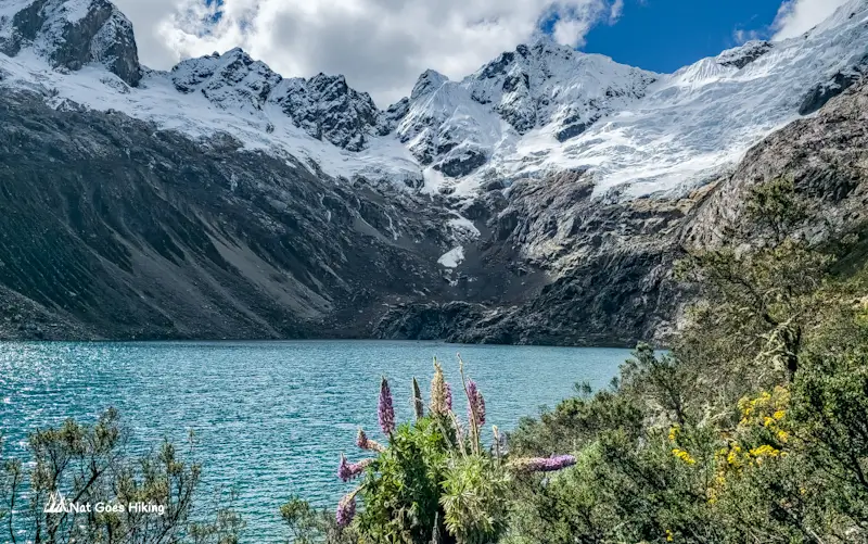
Laguna 69 Hike: Best Day Hike near Huaraz
Laguna 69 Hike: Quick Overview
- Distance: ~14 km / 8.7 mi return
- Hiking time: ~6 hours return
- Elevation gain: ~700 m /2,300 ft
- Highest altitude: 4,604 m / 15,105 ft at the lake
- Starting point: Cebollapampa, inside Huascarán National Park
- Entrance fee: S/30 Huascarán National Park ticket
- Difficulty: Moderate-Hard (mainly because of the altitude)
- Best for: First-time visitors to Huaraz looking for the classic Cordillera Blanca experience
- Tour or independent: As of 2026, access is only permitted via authorised tour operators
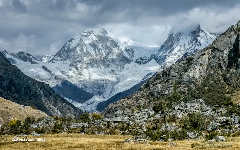
The Laguna 69 Hike is one of the most famous day hikes in the Cordillera Blanca, known for its turquoise glacial lake at 4,600 metres. It is located about 90 km from Huaraz, and it takes about 3.5 hours to get to the trailhead.
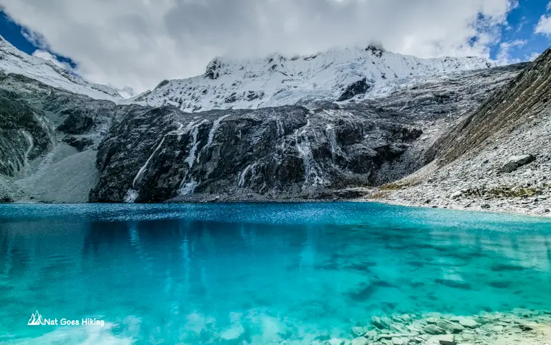
I hiked Laguna 69 in July 2025, and I can see why it’s one of the most popular hikes near Huaraz. However, if you compare only the scenery of the lakes, in my opinion, Laguna Parón is the winner, but more about it later. Compared to Laguna Parón, which requires only a short hike to the upper viewpoint, the Laguna 69 Hike is a proper 14 km hike with varied scenery: stunning turquoise lake, lush valleys, waterfalls and iconic Cordillera Blanca scenery.
The photos are amazing, but they still don’t really show the scale of the place. Standing in front of the lake, with the massive mountains of the Cordillera Blanca behind it, feels completely different.
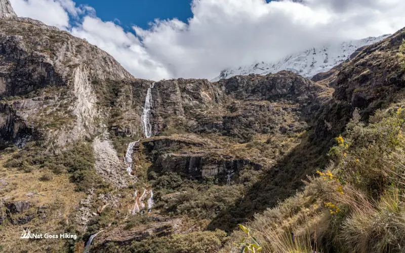
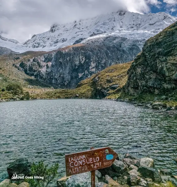
What I didn’t expect was how good the hike itself would be. The trail passes waterfalls, open alpine meadows, grazing cows, and then Laguna Consuelo, another beautiful lake (although it doesn’t have an intense colour), and mind-blowing mountain scenery of Huascarán National Park. By the time you reach Lake 69, you’ve already had a pretty incredible day out.
A bonus: 2 turquoise-coloured Lagunas de Llanganuco are located close to the Laguna 69 hike trailhead. After we finished the hike, we stopped to take photos.
For most travellers, Laguna 69 is done as a day trip from Huaraz. It is usually a long day with an early morning start, a few hours of van ride, and a few hours of hiking, and a return to Huaraz in the evening, but it gives you a taste of what makes this region special without committing to a multi-day trek.
Laguna 69 hike difficulty
The hike is not technically difficult: no scrambling, no exposed sections, nothing like that, but the altitude is what makes it challenging. You start at 3,910 m and climb to 4,604 m, so even regular hikers can feel the climb. How hard this feels depends almost entirely on how well you’ve acclimatised.
Laguna 69: no more independent hiking
One important thing to mention is that there was a major change to access rules in 2026. You can no longer hike Laguna 69 independently. Since February 2026, Peru’s national parks authority SERNANP requires all visitors to go with an authorised tour operator. Independent access is no longer permitted.
In practice, most people already visited on a tour, so it doesn’t change much. We paid S/40 per person with Mony Tours. Total cost for the day, including the S/30 park entrance fee and a basic breakfast stop, came to around S/80 each.
Read my complete guide to the Laguna 69 hike, including recent access changes, difficulty, trail notes, photography tips, costs, and what the photos don’t show.
Laguna Parón: the most beautiful lake in the Cordillera Blanca?
Laguna Parón Hike: Quick Overview
- Distance: Minimal hiking required (optional 900 m /0.6 mi hike up to upper viewpoint)
- Elevation gain: ~135 m /440 ft
- Highest altitude: ~ 4,300 m / 14,100 ft
- Entrance fee: S/5 community fee
- Difficulty: Easy (optional short uphill viewpoint hike)
- Best for: Incredible glacier lake views near Huaraz without a difficult hike
- Public transport to trailhead: Possible, but easier with a tour due to transport logistics
- Tour or independent: Easier with a tour due to transport logistics
I visited Laguna Parón in July 2025, and if I had to choose purely based on scenery, this would probably be my favourite lake near Huaraz.
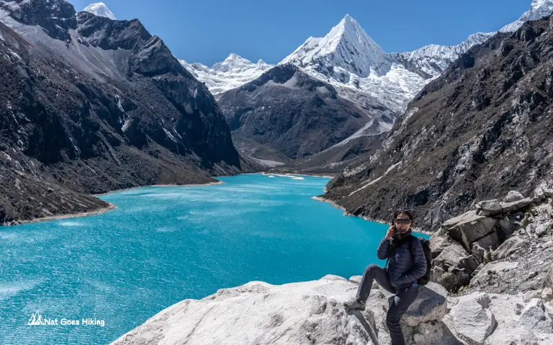
I know Laguna 69 is the famous one. It is the hike everyone talks about when they search for the best hikes near Huaraz. But standing in front of Laguna Parón, I realised the photos don’t really do this place justice.
The water is this unreal deep turquoise-blue colour that almost doesn’t look natural. Behind the lake, there is the perfectly shaped pyramid peak of Pirámide Garcilaso that looks like it was put there specifically for the photo. It is some of the most impressive scenery in Huascarán National Park you can see without doing a multi-day trek.
Hike difficulty
Laguna Parón is one of the easiest and most rewarding day trips from Huaraz. Compared with Laguna 69, where the journey is a big part of the experience, Laguna Parón is more about the destination itself. After arriving at the lake, it is just a short walk to the lower viewpoint and only a short climb to the upper viewpoint. Rocky in places, a bit of a scramble near the top, but nothing serious. You do need to be acclimatised, though, as the lake sits at 4,200 m.
Laguna Parón Tour: what to expect
We visited Laguna Parón with Mony Tours from Huaraz. We paid S/50 per person for the tour, plus the S/5 entrance fee. The tour also included the usual breakfast and lunch stops, which cost an additional S/56 for 2 people: 6 soles for 1 portion of eggs and S/10 for 2 cups of coca tea for breakfast (we also brought some bread and avocado) and S/40 for 2 bowls of chicken soup for lunch. Like most organised day trips from Huaraz, it was an early start, but the scenery definitely made up for the long drive.
One thing I really liked about Laguna Parón is that you get a huge reward without exhausting yourself. If you are still adjusting to the altitude or you simply want an incredible mountain view without a demanding hike, this is one of the best hikes from Huaraz to add to your itinerary.
Laguna Parón and Laguna 69 comparison
Compared with Laguna 69, I would say:
- Laguna 69 wins for the hiking experience: the trail, the waterfalls, the feeling of reaching a hidden alpine lake.
- Laguna Parón wins for the scenery at the lake itself: the colour, the mountains, and that postcard-perfect view.
If you only have a few days in Huaraz, I would seriously consider doing both, as they are different experiences.
Laguna Churup Hike: easiest to reach without a tour
Laguna Churup Hike: Quick Overview
- Distance: ~6-7 km / 3.7-4.3 mi return
- Hiking time: ~3–4 hours return
- Elevation gain: ~656 m / 2,150 ft
- Highest altitude: 4,450 m / 14,600 ft at the lake
- Starting point: Pitec
- Entrance fee: S/30 Huascarán National Park ticket
- Difficulty: Moderate-Hard (short distance but steep sections and altitude)
- Best for: Acclimatisation, independent hikers, and travellers looking for a less crowded Cordillera Blanca hike
- Public Transport to trailhead: Yes, colectivo to Pitec
- Tour or independent: Can be easily done independently
Full disclosure: I haven’t actually completed the Laguna Churup hike yet. After hiking Laguna 69, Laguna Parón, Laguna Rocotuyoc and Laguna Congelada, I hit a wall. I think it was classic lagoon fatigue. Laguna Churup hike was on the list, and it just didn’t happen this trip, but it remains on my list for my next visit to Huaraz.
Located in Huascarán National Park, Laguna Churup is one of the most popular day hikes from Huaraz and is often recommended as an acclimatisation hike before attempting higher-altitude routes or multi-day treks in the Cordillera Blanca.
Laguna Churup hike difficulty
The lake sits at around 4,450 m above sea level, and although the distance is relatively short, the altitude makes it challenging. Expect steep sections, rocky terrain, and a more technical feel (steep rock scrambles with fixed cables) compared with easier lagoon visits around Huaraz.
How to get to Laguna Churup by public transport
Laguna Churup is located about 20 km from Huaraz. Because it is closer to Huaraz than many other famous lagoons, Laguna Churup is also a good option if you want a shorter day without spending hours in a bus or tour van. And for those who like to travel independently, it’s easy to get to the trailhead by public transport.
Just grab a colectivo from Huaraz (corner of Avenida Agustín Gamarra and Las Americas around the Ursa petrol station) to Pitec, about 45 -60 minutes and S/10–15 each way, and you’re at the trailhead. It’s genuinely the best option near Huaraz for travellers who prefer hiking independently.
Laguna Rocotuyoc and Laguna Congelada hike: Two Stunning Lagoons Most Foreign Visitors Miss
Laguna Rocotuyoc and Laguna Congelada hike: Quick Overview
- Distance: ~3 km / 1.9 mi return
- Elevation gain: ~150 m / 490 ft
- Highest altitude: 4,520 m / 14,800 ft at Laguna Congelada
- Entrance fee: S/10 community fee
- Difficulty: Easy-Moderate
- Tour or independently: Tour recommended. I couldn’t find known public transport route
- Best for: acclimatisation, hikers who’ve done the classics and want something quieter, more local experience near Huaraz
If you’ve already ticked off Laguna 69 and Laguna Parón and you’ve got an extra day, these two are worth it. I didn’t even know Laguna Rocotuyoc and Laguna Congelada existed before arriving in Huaraz. We heard about them from a group of Peruvians on a Laguna 69 tour. So we swapped plans and went for these instead of Laguna Churup.
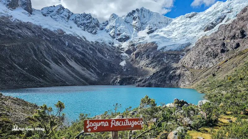
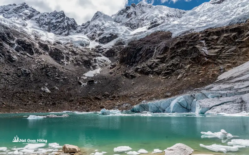
Fair warning upfront: they’re not as dramatic as 69 or Parón. The scenery is beautiful, but it won’t blow your mind the same way. But what makes Laguna Congelada special is the glacier sitting right down near the water.
One thing I noticed was the difference in the crowd. While Laguna 69 and Laguna Parón have become must-do stops for international travellers visiting Huaraz, Rocotuyoc and Congelada are still mostly visited by Peruvians. The experience feels quieter and more local.
Laguna Rocotuyoc & Laguna Congelada tour: what to expect
We did both on a day trip with Mony Tours for S/50 per person, plus S/10 entrance fee. The lagoons sit about 46 km from Huaraz, which is close enough for the tour to depart at 9 am. In reality, we left at 9:40.
Halfway there, the tour van pulled over for a breakfast stop. Breakfast is not included in the tour price, and the menu prices were noticeably higher than those at other tour stops we’d experienced. Lomo saltado for S/30, chicken nuggets for S/25. Budget accordingly or bring your own food. Same place on the way back for a late lunch.
Laguna Rocotuyoc and Laguna Congelada: hike difficulty
This is one of the easier hikes near Huaraz, but don’t underestimate the altitude. The two lakes sit right next to each other at 4,500 m. Laguna Rocotuyoc is literally a 100 m walk from the carpark. The water is a beautiful turquoise-green. To reach Laguna Congelada, you need to hike around 1.5 km with about 140 m of elevation gain. I would describe it as a moderate but manageable hike, and it is actually a great acclimatisation hike near Huaraz.
The trail follows the edge of Laguna Rocotuyoc, and once you reach the other side, you arrive at Laguna Congelada with its icy mountain scenery. A glacier pushes right down to the water’s edge.
You get two hours at the lakes, which is plenty of time to hike through, enjoy the views, and take plenty of photos without rushing.
Best multi-day treks near Huaraz
The day hikes near Huaraz were incredible, but the main reason we came to Huaraz was to complete the Huayhuash Trek. Unfortunately, we didn’t manage to complete it in full. Not the ending we expected, but it was still one of the most unforgettable experiences of the trip.
Which multi-day trek near Huaraz should you choose?
The most famous multi-day treks near Huaraz are the Huayhuash Trek and the Santa Cruz Trek, but they offer very different experiences. Huayhuash is the big adventure: more remote, more demanding, and with some of the most famous mountain scenery in Peru. Santa Cruz is shorter and more accessible, making it a better option for first-time trekkers in the Cordillera Blanca. The Mini-Huayhuash Trek sits somewhere in between, offering many of the highlights of the full Huayhuash circuit in a shorter format.
Before going into each trek in detail, here is a quick comparison of the distance, difficulty, highlights, logistics, and approximate costs to help you decide which trek is the right fit for your Huaraz trip.
Multi-day treks near Huaraz: quick comparison
| Trek |
Huayhuash Trek ✓ Started – cut short |
Santa Cruz Trek Not hiked yet |
Mini-Huayhuash Trek ✓ Hiked without a tour |
|---|---|---|---|
| Distance | 120-130 km75-81 mi | 50 km31 mi | 41 km25.5 mi |
| Elevation gain | 6,000–8,000 m19,680–26,250 ft (depending on route) |
2,386 m7,830 ft | 1,933 m6,342 ft |
| Highest point | Cuyoc Pass 5,040 m16,535 ft or San Antonio Pass 5,080 m (optional)16,667 ft |
Punta Unión Pass 4,750 m15,584 ft | Siula Pass 4,830 m15,846 ft |
| Difficulty | Challenging | Moderate | Moderate to challenging |
| Highlights |
|
|
|
| Best for | Experienced hikers, adventure travellers | Hikers who want a shorter Cordillera Blanca adventure | Hikers who want the Huayhuash experience but don’t want to commit to the full circuit |
| My verdict | Best scenery | Best introduction | Best compromise |
| Public transport to trailhead |
Yes, if starting from Llamac. Private transfer is more convenient if starting from Quartelhuain. | Yes | Yes, if starting from Llamac. Private transfer is more convenient if starting from Quartelhuain. |
| Entrance fee / community fees |
S/280* | Huascarán National Park entry: S/150 for up to 30 days (foreigners) | S/170* |
| Tour price (Huaraz) |
S/1,700–1,800** (community fees not included) | S/800–1,000 | US$365 – same Cordillera Huayhuash eastern flank itinerary found online |
* Community fees for Huayhuash and Mini Huayhuash are paid separately in cash. They are not included in guided tour prices.
** Tour prices are what we were quoted in Huaraz in July 2025, excluding community fees.
Difficulty note: all ratings assume adequate acclimatisation (2–3 days). Altitude is the deciding factor on every hike here, not fitness.
Huayhuash Trek: One of the World’s Greatest Treks
Huayhuash Trek: Quick Overview
- Distance: ~120-130 km / 75-81 mi
- Duration: 8-12 days
- Elevation gain: ~6,000–8,000 m / 19,680–26,250 ft (depending on route and side trips)
- Highest altitude: Cuyoc Pass 5,040 m / 16,535 ft or optional San Antonio Pass 5,080 m / 16,667 ft
- Community fees: Around S/280 (paid across communities along the route), as of July 2025
- Difficulty: Challenging (high altitude, long hiking days, and remote conditions)
- Best for: Experienced hikers, adventure travellers looking for a remote high-altitude trek
- Public transport to trailhead: Yes, if starting from Llamac. Private transfer is more convenient, if starting from Quartelhuain
- Tour or independent: Most people go with a guided tour, but independent trekking is possible with proper preparation
If Laguna 69 is the iconic day hike from Huaraz, the Huayhuash Trek is the big adventure. This was the reason we came to Huaraz.
We started the trek, but unfortunately had to cut it short when my partner got sick on Day 3, just after we arrived at Huayhuash campground. It was disappointing, especially because the Huayhuash Trek was the adventure I was most excited about. But it was also a good reminder of how demanding high-altitude trekking in Peru can be. The next day, we decided to leave the trek early and hike out towards the small settlement of Tupac Amaru.
What makes the Huayhuash Trek special?
The scenery is the obvious answer, but the Huayhuash Trek is about more than just incredible mountain views.
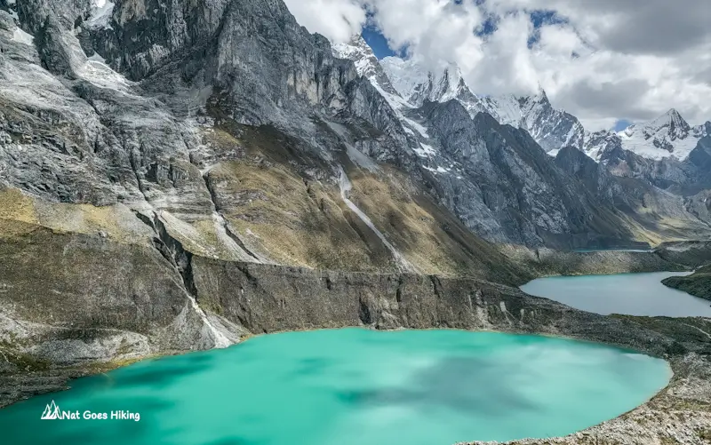
The route takes you through the heart of the Cordillera Huayhuash, with views of some of Peru’s most iconic peaks, including Yerupajá, Siula Grande, Jirishanca, and Rasac. Highlights include Laguna Carhuacocha, the Three Lakes Viewpoint, and the high mountain passes that make this trek both challenging and rewarding.
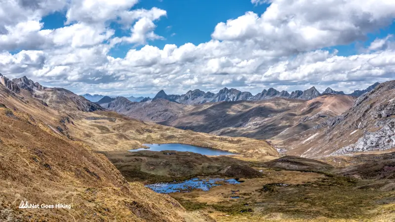
But what makes Huayhuash truly special is the sense of remoteness. Unlike some popular treks where you walk between villages and lodges, Huayhuash feels far removed from everyday life.
Huayhuash Trek stats and difficulty
This is not an easy trek. The full circuit is around 120 km and usually takes 8–12 days, depending on the itinerary and side trips. Most of the route sits between 4,000 m and 5,000 m, with daily climbs over high passes. The highest points are Cuyoc Pass (5,040 m) or San Antonio Pass (5,080 m if you include this optional detour).
The numbers sound impressive, but the real challenge is the combination of everything: long hiking days, cold nights, hiking at high altitude, and carrying all camping gear and food for many days in a row.
Fitness helps, but acclimatisation matters just as much. Spend a few days acclimatising in Huaraz first. Do some day hikes, get used to the altitude, and give your body time to adjust. Altitude sickness doesn’t care how fit you are.
Tour or independent Huayhuash Trek
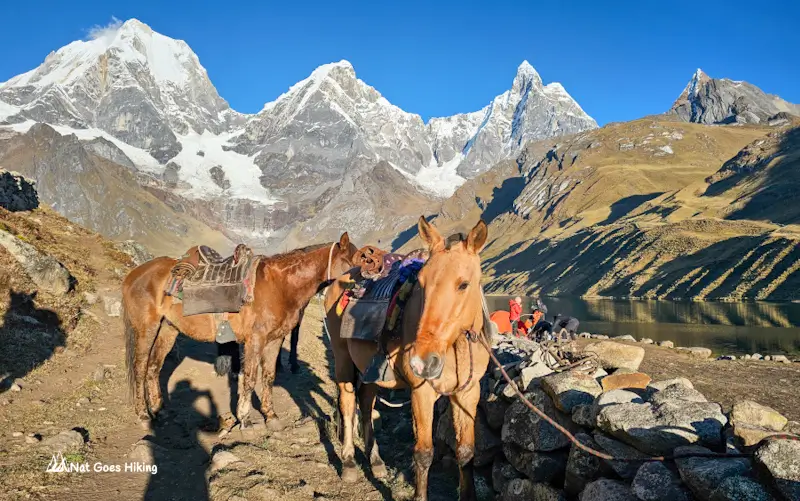
Most travellers complete the Huayhuash Trek with an organised tour from Huaraz. The agencies usually provide transport, camping equipment, cooks, and muleteers who carry the heavy gear.
Independent trekking is possible, but it requires much more planning and experience. You need to carry your own food and equipment, and the only reliable place to restock supplies is Huayllapa, closer to the end of the route.
Huayhuash Trek community fees
Community fees are paid as you pass through each of the 9 communities along the route. As of July 2025, the total comes to around S/280 (roughly US$75). Factor that into your budget on top of tour costs or gear hire.
I still want to come back and complete the full circuit. After getting just a taste of Huayhuash, I know this is one trek I’m not ready to cross it off my list yet.
Santa Cruz Trek – The Classic Cordillera Blanca Trek
Santa Cruz Trek: Quick Overview
- Distance: ~50 km / ~31 mi
- Duration: 3-4 days
- Elevation gain: ~2,386 m / ~7,830 ft
- Highest altitude: Punta Unión Pass ~4,750 m / ~15,584 ft
- Entrance fee: Huascarán National Park entry ticket: S/150 for up to 30 days (foreigners)
- Difficulty: Moderate to Challenging (mainly because of the altitude and long hiking days)
- Best for: Hikers looking for a shorter Cordillera Blanca adventure with dramatic mountain scenery, alpine lakes, and high mountain passes
- Tour or independent: Can be done independently, with public transport available to the trailhead
If Huayhuash is the big mountain adventure, the Santa Cruz Trek is the classic introduction to trekking in the Cordillera Blanca.
This is one of the most popular multi-day treks near Huaraz, and for many travellers, it is the first proper high-altitude trek they do in Peru. It has everything people come to the Andes looking for: turquoise lakes, huge snow-covered peaks, quiet valleys, and the feeling of walking through one of the most spectacular mountain regions in South America.
I didn’t get to complete the Santa Cruz Trek during my time in Huaraz, but it remains one of the routes I would like to return for. After seeing how impressive the Cordillera Blanca is, it’s high on the list for next time.
The Santa Cruz Trek usually takes around 3–4 days and passes through the heart of Huascarán National Park. The highlight for many hikers is crossing Punta Unión Pass at around 4,750 m, where you get incredible views of the surrounding Cordillera Blanca peaks.
Compared with Huayhuash, the Santa Cruz Trek is more accessible and easier to fit into a shorter Huaraz itinerary. You still get the high-altitude scenery and camping experience, but with a shorter time commitment and a route that is more straightforward and less physically demanding overall.
Mini-Huayhuash Trek – The Best Shorter Alternative to the Full Huayhuash Trek
Mini-Huayhuash Trek: Quick Overview
- Distance: ~41 km / 25.5 mi
- Duration: 4 days
- Elevation gain: ~1,933 m / 6,342 ft
- Highest altitude: Siula Pass 4,830 m / 15,846 ft
- Community fees: S/170 as of July 2025
- Difficulty: Moderate to Challenging
- Public transport to trailhead: Yes, if starting from Llamac. Private transfer is more convenient if starting from Quartelhuain
- Tour or independent: Easier to complete independently than the full Huayhuash circuit. Only one agency offers the same itinerary on the eastern flank of the Cordillera Huayhuash
One important thing first: there are a few different routes people call the “Mini-Huayhuash Trek”. This section is about the route we did on the eastern side of the Cordillera Huayhuash, from Quartelhuain to Tupac Amaru. It is different from the shorter Llamac/Jahuacocha route you might see mentioned online.
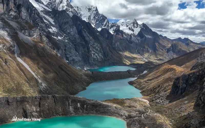
How we ended up doing Mini-Huayhuash Trek
We came to Huaraz mainly for the full Huayhuash Circuit, but on Day 3, my partner got sick. Fever, headache, stomach issues, all at once. So we had to make the difficult decision to cut it short.
What we ended up with was 4 days on the eastern flank of the Cordillera Huayhuash, from Quartelhuain to Tupac Amaru. And honestly, even this shorter version was incredible. It turned out to be one of the highlights of our time in Huaraz.
We still got some of the biggest highlights of the full trek: Laguna Carhuacocha with views of Yerupajá and Siula Grande, the Tres Lagunas viewpoint, and Siula Pass at 4,830 m. Day 3 was probably one of the best hiking days I have ever had.
The Mini-Huayhuash Trek is one of the best multi-day treks near Huaraz if you want the Huayhuash experience but don’t have enough time for the full circuit. You still get the huge mountains, turquoise lakes and remote landscapes, just in a shorter format.
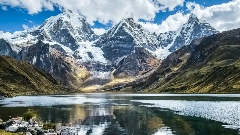
Getting to the trailhead
The trailhead is the same as for the Huayhuash Trek. There are two main starting options: Llamac and Quartelhuain. Llamac is cheaper and possible by public transport, but you add a long dirt road section before reaching the main scenery. We started from Quartierhuain, and I would choose this option again. There is no public transport all the way there, so you need a private transfer.
We organised transport through Andean Kingdom in Huaraz. It cost S/100 per person, with a 4:30 am pickup and arrival around 10 am.
Mini-Huayhuash Trek: independently or with a tour
We did this trek without a tour. There’s no permit system, no mandatory guide requirement. The trail is remote and mostly unmarked, though. You’ll need offline maps, a GPS device, and genuine confidence navigating in remote mountain terrain. We used a Garmin with a downloaded GPX track and AllTrails offline maps on our phones as backup.
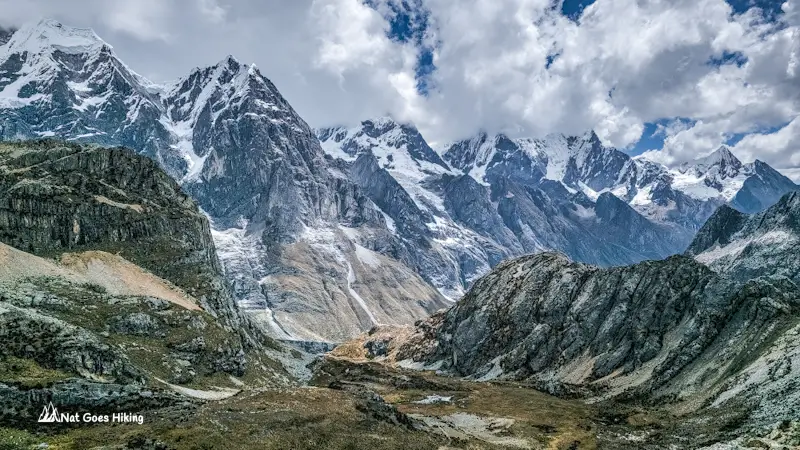
Mini-Huayhuash Trek community fees and costs
Community fees are paid along the way, not upfront as a single entry cost. We paid five separate fees across the trek: S/50 and S/20 on the way to the trailhead, then S/40, S/30, and S/30 at the campsites. The total was S/170 per person, so make sure you carry enough cash.
Our total cost for the 4-day Mini-Huayhuash Trek independently was around S/506.65 per person, including transport, community fees, food and accommodation on the way back. I go into the full cost breakdown in my complete Mini-Huayhuash Trek guide.
Weather conditions
Nights are cold. Temperatures drop well below 0°C. Our tent got frozen at night. Fill your water bottles in the evening, as the pipes at camp freeze overnight. A sleeping bag rated for sub-zero is not optional; it’s the difference between sleeping and not sleeping.
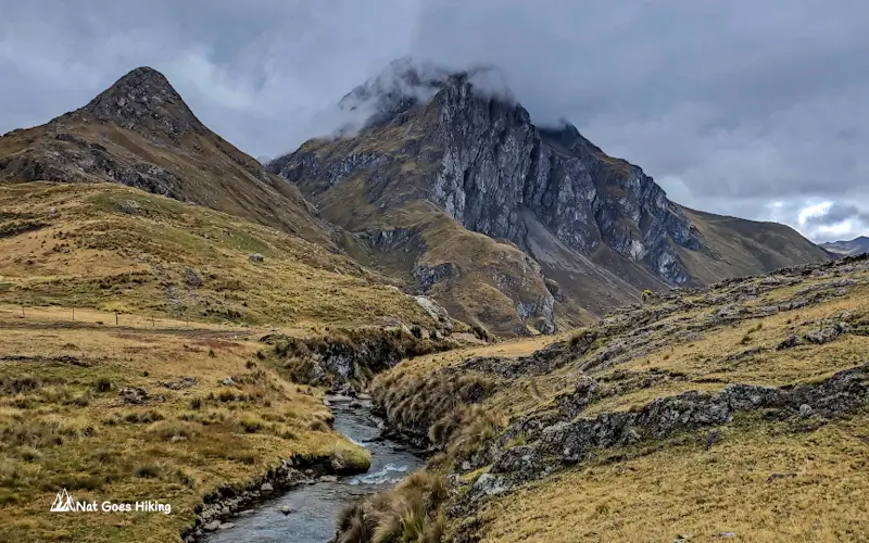
Read my full Mini-Huayhuash Trek guide, including our exact route, costs, camping experience, and how we did it independently without a guide.
Best hikes in Huaraz FAQ
The best time for trekking near Huaraz is generally from May to September, during the dry season. July and August usually offer the most stable weather, but they are also the busiest months. April and October are shoulder months, with fewer people but a higher chance of rain.
Plan for at least two full days in Huaraz before hitting the trails. Huaraz sits at 3,050m, which is high enough to knock you around if you’ve come straight from sea level, and all hikes near Huaraz push well above 4,000 m. Drink plenty of water and take it easy on arrival. I recommend doing a couple of day hikes as acclimatisation before tackling a multi-day trek like the Santa Cruz Trek or the Huayhuash Circuit. If you are concerned about altitude sickness, speak with your doctor before your trip about whether altitude medication is suitable for you.
It depends on how much time you have, your hiking experience, and how much of a challenge you are looking for.
If you want the ultimate trekking experience near Huaraz and have enough time, the Huayhuash Trek is the one. It is longer and tougher, but it feels more remote, and the scenery is incredible, with some of the most famous mountain views in the Andes. For many hikers, this is the main reason they come to Huaraz.
If you want a taste of Huayhuash without committing to the full circuit, the Mini-Huayhuash Trek is a great alternative. It includes some of the same iconic scenery, but in a shorter itinerary.
The Santa Cruz Trek is the best choice for your first multi-day trek in the Cordillera Blanca. It is shorter, more straightforward, and still offers classic Andean scenery with Punta Unión Pass, turquoise lakes and impressive peaks.
Related Posts
Want more inspiration for travel in Peru and Bolivia? Check out these posts:
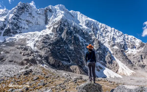
The Salkantay Trek is one of Peru’s best alternatives to the Inca Trail. In this guide, I break down each day on the trail, costs, difficulty, packing tips, and what it’s really like from my own experience hiking it.
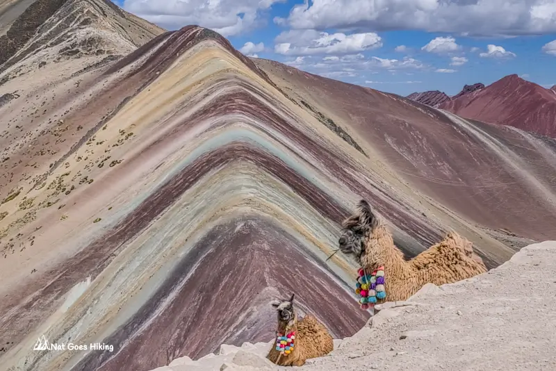
Planning to visit Vinicunca Rainbow Mountain? Here’s how I avoided the crowds at Rainbow Mountain, plus tips on going independently from Cusco.
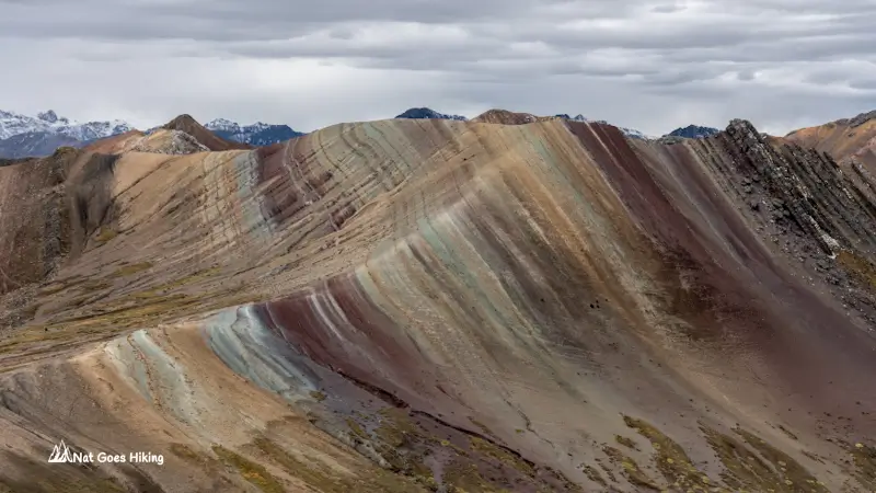
Looking for a quieter alternative to Vinicunca? Palccoyo offers multiple rainbow mountains, easier hiking, and far fewer crowds. Read my complete guide on how to visit without a tour.
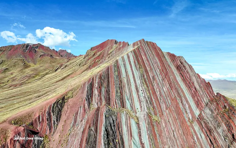
Want more inspiration for travel in Peru? Discover Pallay Punchu, an off‑the‑beaten‑path alternative to Rainbow Mountain you can visit without a guide.
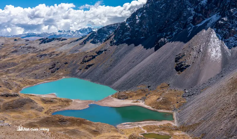
Seven colourful glacial lakes, views of Ausangate, alpacas roaming the valleys, and hot springs at the finish. We share our experience, costs, transport tips, and whether it’s worth doing without a tour.
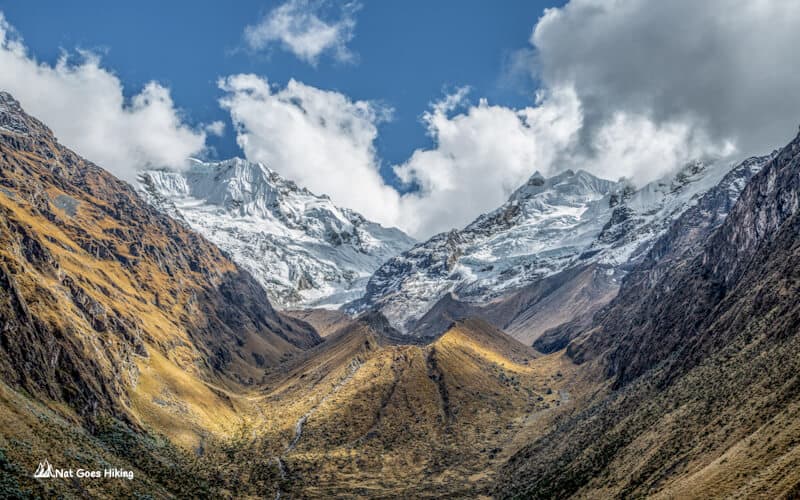
Want to hike to Machu Picchu without a guide? Choquequirao Trek is a great alternative to the Inca Trail. Learn everything you need here.
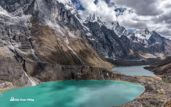
Short on time for the full Huayhuash Circuit? This 4-day mini Huayhuash Trek without a guide still includes some of the trek’s most iconic views.
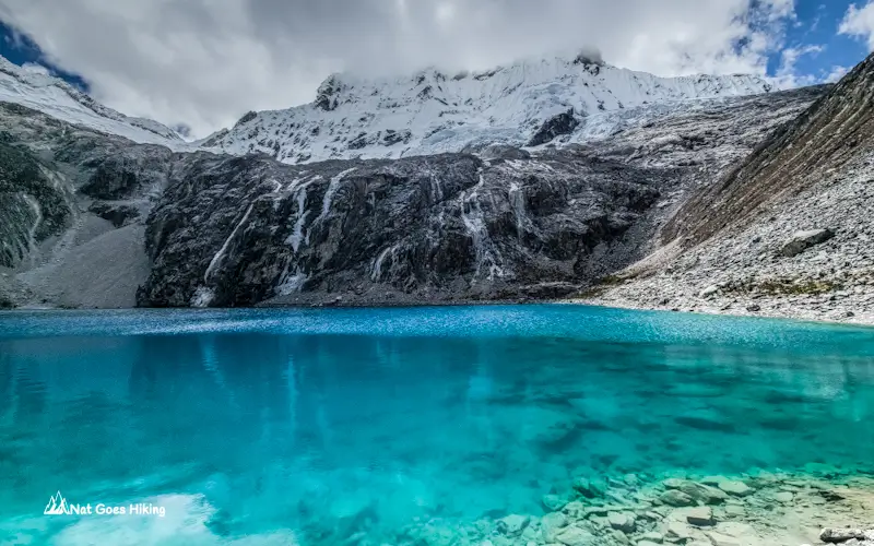
I hiked the Laguna 69 Hike in July 2025. Here’s what the photos don’t show: trail conditions, crowd levels, new 2026 access rules, costs, and more.
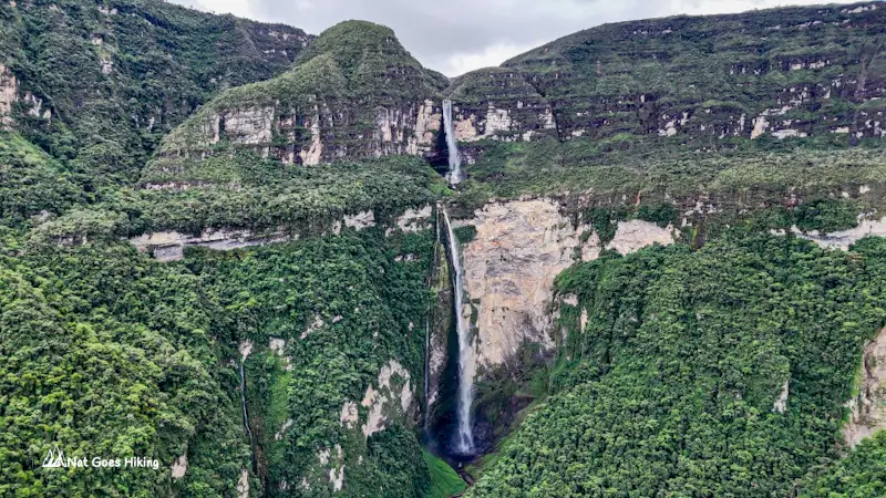
Planning the Gocta Waterfall hike? Learn about the trail, entrance fee, tour vs independent hike, costs, best time to visit and practical tips based on our July 2025 visit.
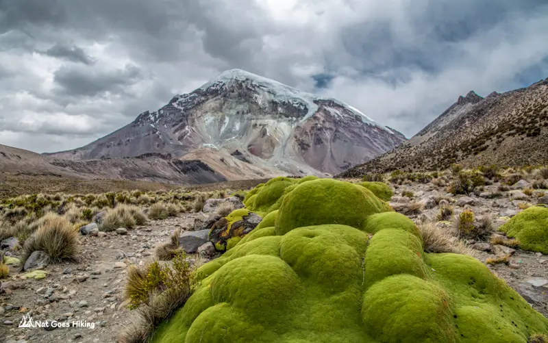
Sajama National Park is Bolivia’s hidden gem. This travel guide covers what to do, how to get there, where to stay, and useful tips from our experience.
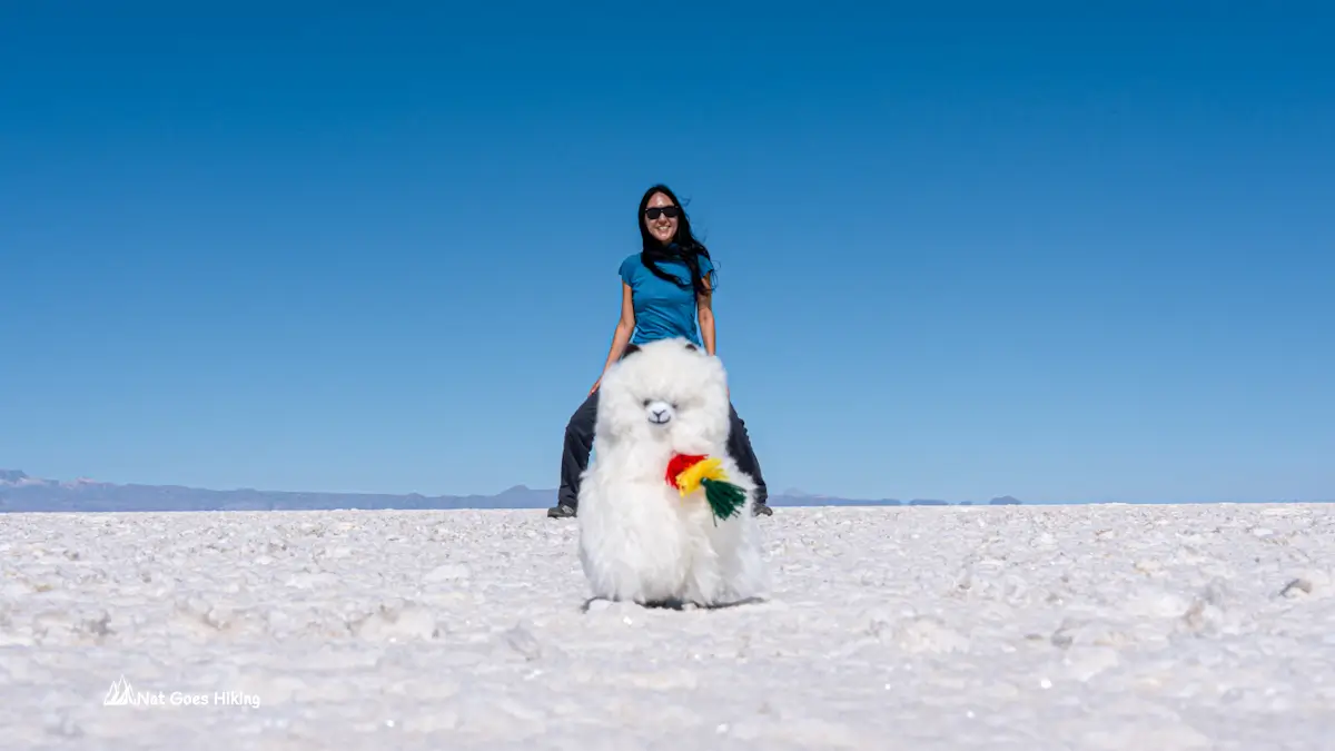
Planning a trip to Salar de Uyuni? Discover what to expect, the best time to visit, and whether to go independently or join a tour..
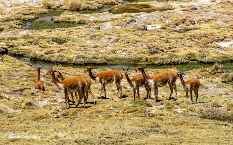
Although Bolivia is one of the most underrated countries, it has so much to offer. Wondering what the top things to do in Bolivia are?