What Are the Ausangate 7 Lakes?
The Ausangate 7 Lakes Hike (Circuito de las 7 Lagunas de Ausangate) is a day hike near Pacchanta in Peru’s Cusco region. The trail passes a collection of colourful glacial lakes sitting beneath the snow-covered Ausangate massif. Depending on the route, hikers usually visit seven lakes ranging in colour from bright turquoise and deep blue to red, green and black. We hiked the Ausangate 7 Lakes in August 2025 without a tour, and in this post I’ll share exactly how we did it: the route we took, how to get there independently, what it cost, and the one lake we stupidly missed.
Is there a list of the Ausangate 7 Lakes?
If you’re researching the Ausangate 7 Lakes Hike, there’s something worth knowing straight away: there isn’t one official list of the Ausangate 7 Lakes.
Two people can both say they hiked the Ausangate 7 Lakes and end up seeing a completely different combination of lakes. When we did the hike independently, we ended up seeing a completely different set of lakes from most organised tours.
Here’s what I mean:
- Salkantay Trekking offers a 16 km /~10 mi route visiting 6 lakes: Qomer Cocha, Alqa Cocha, Pata Cocha, China Uturunku, Orko Uturunku, and Azul Cocha.
- Alpaca Expeditions runs a 15 km /~9.3 mi route with 7 lakes: Azul Cocha, China Uturunku, Orko Uturunku, Otorongo, Hatun Puka Cocha, Huchuy Puka Cocha, and Chuño Cocha.
- Many GetYourGuide operators offer a 13 km /~ 8 mi route covering: Otorongo, Alqa Cocha, Qomer Cocha, Orko Uturunku, Azul Cocha, Puka Cocha, and Pata Cocha.
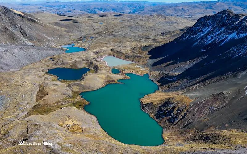
The only two lakes that appeared on every route I looked at were Azul Cocha and Orko Uturunku. Azul Cocha (also called Anqas Cocha in Quechua) is probably the most iconic.
Which Ausangate Lakes did we visit?
Ironically, we missed Azul Cocha completely. Honestly, the photos I saw after the hike made me genuinely annoyed we missed it. The bright turquoise colour of Azul Cocha is unreal.
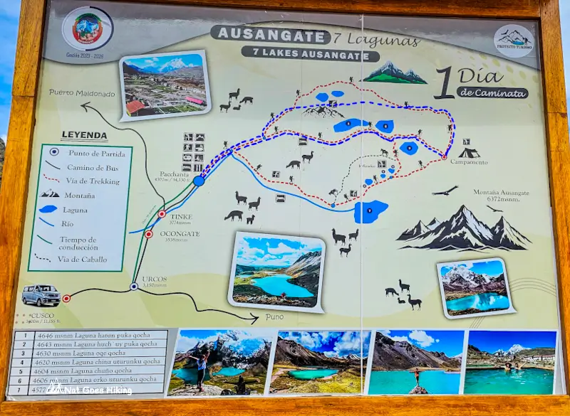
We missed it not because we wanted to, but because we hadn’t done much research on the different lake routes beforehand. At the trailhead, we looked at the map and chose the route with more of the larger lakes, shown as the blue dotted line. In the end, we hiked 18.2 km /11.3 mi and visited Hatun Puka Cocha (Big Red Lake), Huch’uy Puka Cocha (Small Red Lake), Oqe Cocha (Lead Lake), Alqa Cocha (Two-coloured Lake), Sonqo Cocha (Heart-Shaped Lake), Yana Cocha (Black Lake) and Qomer Cocha (Green Lake).
We didn’t even realise Azul Cocha was considered one of the signature lakes until after the hike. Lesson learned: check which lakes your specific route covers before you set off.
Quick note on lake names
You’ll see plenty of different spellings online. Most names come from Quechua, and there isn’t a single standard way to write them in English or Spanish. For example, Puka Qocha may appear as Pucacocha, while Orko Uturunku can also be written as Orqo Otorongo. Azul Cocha is sometimes listed as Azul Qocha, Anqas Cocha or Anqas Qocha.
Ausangate 7 Lakes Hike: How to get to the trailhead
Where is the Ausangate 7 Lakes Trailhead?
The trailhead for the Ausangate 7 Lakes Hike is in Pacchanta, a small Andean village about 120 km south-east of Cusco. This is also one of the main starting points for the multi-day Ausangate Trek.
Most people visit the Ausangate 7 Lakes on an organised tour from Cusco, but it’s actually quite straightforward to get there independently. That’s exactly what we did. To get there independently, you’ll first need to travel from Cusco to Tinki and then take a taxi for the final stretch to Pacchanta.
How to get to Pacchanta: Step 1. Cusco to Tinki
Buses to Tinki leave from Av. Tomasa Tito Condemayta in Cusco. If you’re using Google Maps, search for “Paradero Ocongate“.
We took a taxi from our accommodation in Cusco. As soon as we mentioned Tinki, the driver knew exactly where to take us.
Buses leave regularly throughout the day. We arrived at the terminal, found a bus heading to Tinki, and were on the road about 10 minutes later.
The ticket cost S/12 per person.
Although Tinki is only about 120 km / 75 mi from Cusco, the journey took us around 3 hours and 20 minutes due to the winding mountain roads and frequent stops along the way.
How to get to Pacchanta: Step 2. Tinki to Pacchanta
Step 2: Tinki to Pacchanta
Pacchanta is about 12 km / 7.5 mi from Tinki.
There is no public transport for this section, so you’ll need to take a taxi.
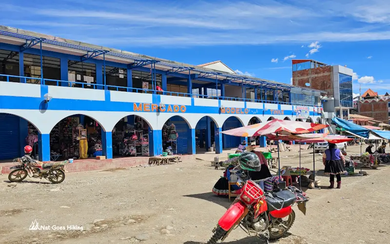
Before continuing, we had lunch at the local market in Tinki and then negotiated a taxi to Pacchanta for S/50.
The drive took about 30 minutes along a rough, unsealed road through the high Andes. Along the way, we stopped at the checkpoint to pay the Ausangate entrance fee, which was S/20 per person when we visited (in August 2025).
Returning from Pacchanta to Cusco
Returning to Cusco is simply the reverse of the journey.
We asked the owner of our hostel to arrange a taxi from Pacchanta back to Tinki. It ended up being cheaper than the one we’d taken from Tinki, costing S/40, and the car was in much better condition too.
From Tinki, we caught a local bus back to Cusco.
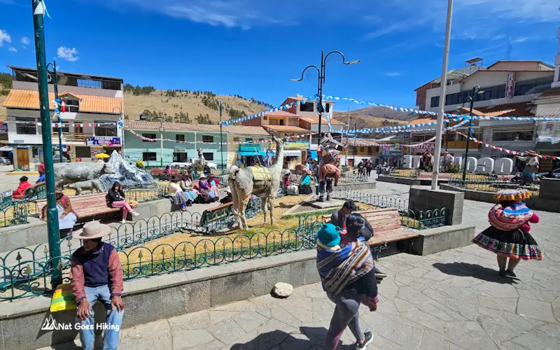
Our bus stopped in Ocongate for about 15 minutes to pick up passengers, which gave us a chance to stretch our legs and have a quick look around before continuing the journey.
Is It Worth Staying Overnight in Pacchanta?
In our opinion, absolutely.
Most Ausangate 7 Lakes tours leave Cusco around 4 am, which means a very early start followed by several hours on the road before you even begin hiking.
If you’re doing the Ausangate 7 Lakes Hike without a tour, staying overnight in Pacchanta makes the whole experience far more relaxed.
We left Cusco at around 9 am, arrived in Pacchanta at about 1:30 pm, and spent the afternoon exploring the village and soaking in the hot springs. The next morning, we started the hike fresh and well-rested instead of feeling half asleep.
That extra night also gave us more time to acclimatise to the altitude.
If you’d prefer to hike on the same day, it’s possible, but you’ll need to leave Cusco early in the morning.
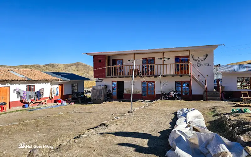
Where to Stay in Pacchanta
Pacchanta is a tiny mountain village at the base of the Ausangate massif. Despite its remote location, there are quite a few simple hospedajes catering to hikers and trekkers.
Don’t expect luxury. Accommodation here is basic, but that’s part of the experience.
Most places offer simple rooms with thick blankets, shared bathrooms, no heating, and spectacular mountain views.
When we visited, Hostal Inti Willian was the only accommodation we found that could be booked online. Most other places were family-run hospedajes that accepted walk-in guests.
We stayed at Hostel Sumaq and paid S/25 per person. The price included WiFi and access to a small hot spring pool.
Meals were available on-site:
- Breakfast: S/10
- Lunch: S/15
- Dinner: S/15
For dinner, they cooked us chicken a la plancha, and the next morning we had an omelette for breakfast. Hot water and tea were available free of charge.
Personally, I wouldn’t plan a trip around this hike during the wet season. However, if you’re already spending a longer period in Cusco and have flexibility with your schedule, you might be able to wait for a good weather window.
One thing to keep in mind is that nights in Pacchanta are cold. Temperatures regularly drop close to freezing, so pack warm layers.
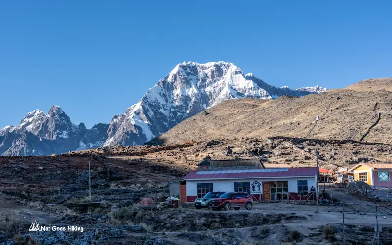
Facilities in Pacchanta
Pacchanta is very small, so don’t expect many services.
A few things worth knowing before you arrive:
- There are no ATMs in Pacchanta.
- Bring enough cash for accommodation, food, transport and entrance fees.
- Most accommodation is family-run and may not accept cards.
- Mobile reception can be unreliable.
- Basic meals are available in local hospedajes.
- Natural hot springs (Aguas Termales de Pacchanta) are available in the village. The pools are simple and rustic. Water temperatures vary between pools, but most are comfortably warm.
Our accommodation Sumaq had a small private thermal pool included in the room price, which was a nice bonus after the hike.
Ausangate 7 Lakes Hike: Less-traveled route
Quick Hike overview
Ausangate 7 Lakes Hike Overview
- Trail type: Loop / Day hike
- Distance: 18.2 km (11.3 mi)
- Elevation gain: ~600 m (~1,970 ft)
- Elevation loss: ~575 m (~1,886 ft)
- Total time: 9 h
- Moving time: 4 h 50 m
- Starting & ending point: Pacchanta 4,300 m (14,108 ft)
- Lowest point: Pacchanta 4,300 m (14,108 ft)
- Highest point: 4,808 m (15,774 ft)
- Difficulty: Moderate (altitude is the main challenge)
The following morning, we got up early and set off from Pacchanta at 5:40 am, hoping to stay ahead of the organised tours that arrive later in the morning. It was still half-dark when we left the village, with only a faint glow appearing behind the mountains.
The evening before, we’d spent a while studying the trail map in Pacchanta and decided to take the longer route. At the time, we thought we were simply choosing a route with more lakes. Our actual hike is shown on the map below with a blue line.
What we didn’t realise was that we’d end up missing Azul Cocha, probably the most famous lake on the Ausangate 7 Lakes Hike.
The green line on the map below is a shorter route taken by many GetYourGuide operators.
Looking back, I would choose a slightly different route (red line) if I did the hike again. The route we followed included some incredible lakes and no other tourists, but knowing what I know now, I’d make a small detour to include Azul Cocha.
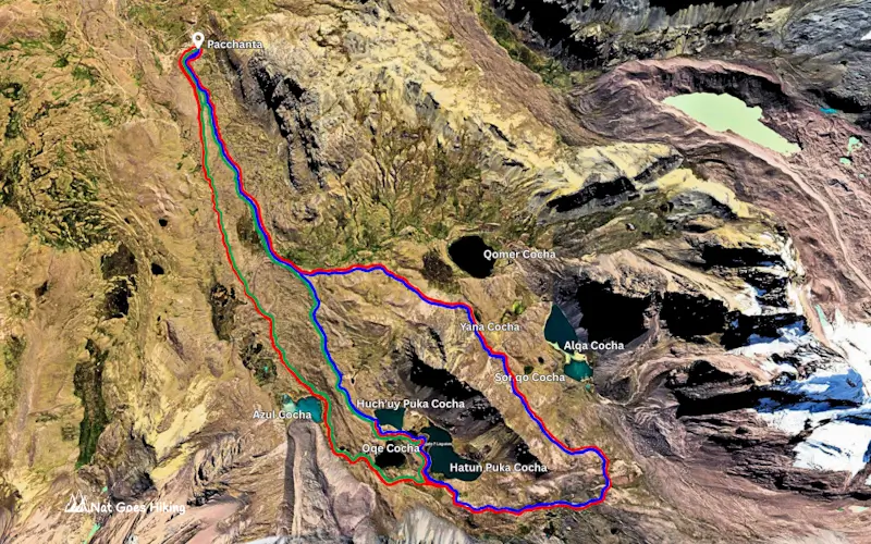
Many organised Ausangate 7 Lakes tours follow shorter circuits of around 13–15 km.
The route we hiked was a longer 18.2 km / 11 mi loop that passed seven lakes and felt way more remote.
For most of the day, we had the trail almost entirely to ourselves. In fact, we didn’t see any other tourists until we were approaching Pacchanta on the way back. As far as we could tell, nobody else was hiking the same loop.
Our alternative Ausangate 7 Lakes route took us to:
- Hatun Puka Cocha (Big Red Lake)
- Huch’uy Puka Cocha (Small Red Lake)
- Oqe Cocha (Lead Lake)
- Alqa Cocha (Two-coloured Lake)
- Sonqo Cocha (Heart-Shaped Lake)
- Yana Cocha (Black Lake)
- Qomer Cocha (Green Lake)
Some lakes had deep turquoise water, while others were dark grey, almost black, or even reddish because of the minerals in the surrounding mountains.
Early Morning on the Trail
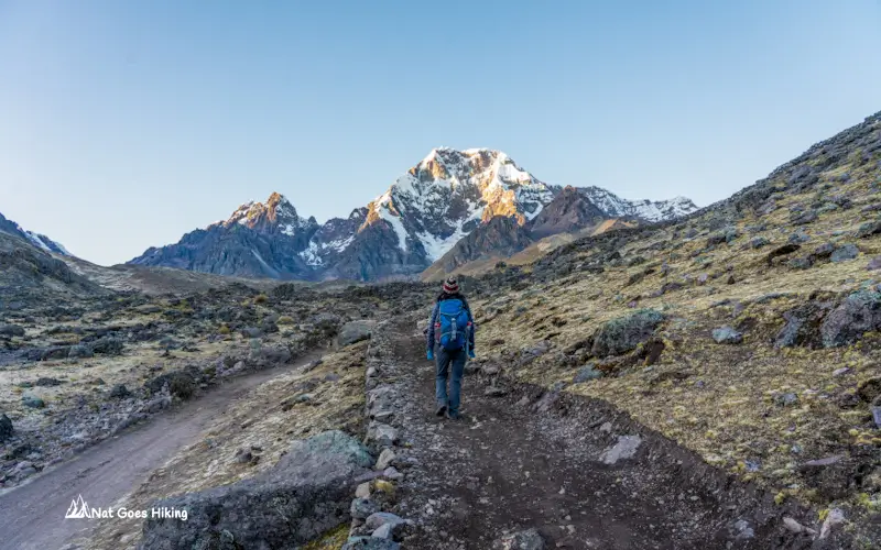
The first hour was freezing. We left Pacchanta wearing every warm layer we had brought, and even then, the cold air at 4,300 metres felt sharp.
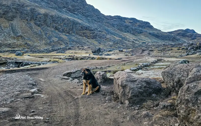
About ten minutes into the hike, we picked up an unexpected hiking companion. A friendly local dog appeared out of nowhere and decided to follow us for nearly half the trail.
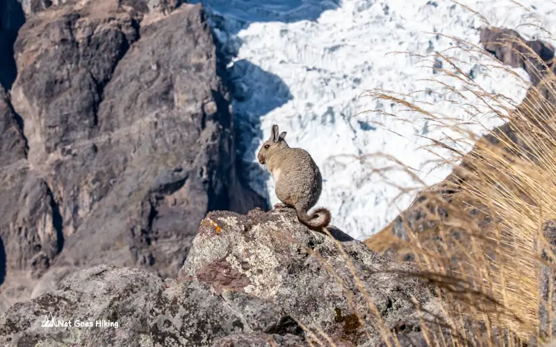
Then came one of the most unexpected highlights of the day. Around 7 am, as the sun finally started warming the rocks, we noticed several viscachas sunbathing nearby. They’re often described as a cross between a rabbit and a chinchilla, and somehow we ended up sitting there watching them for nearly an hour.
I still can’t believe we spent about 50 minutes watching them, but that’s exactly what happened.
The first 4 km / 2.5 mi climbs steadily, gaining around 280 m /920 ft in elevation. After that, the trail becomes much gentler for several kilometres.
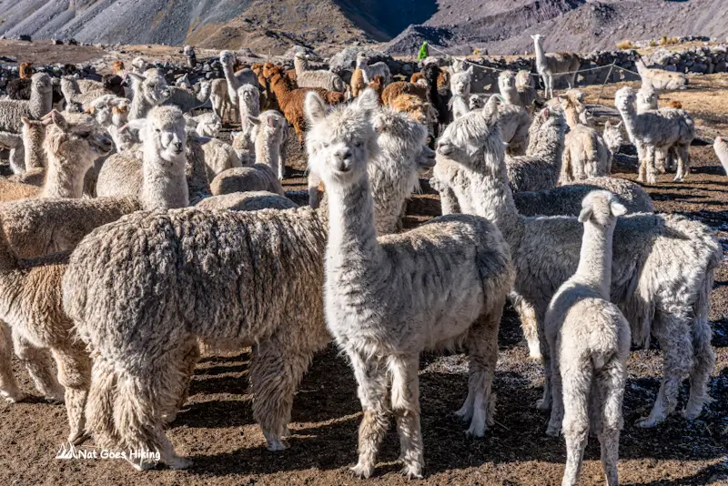
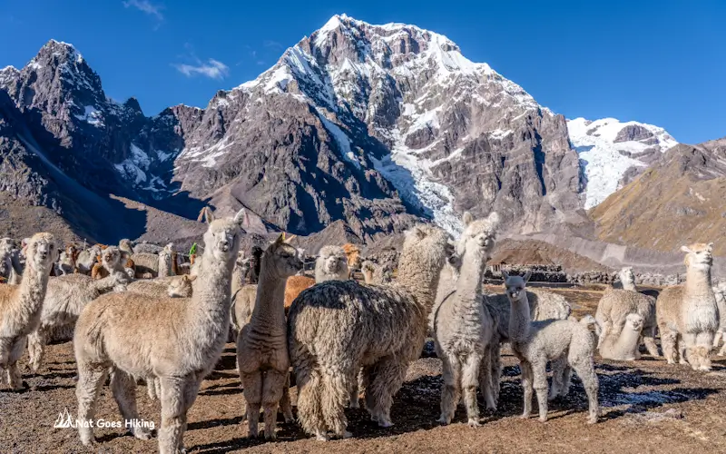
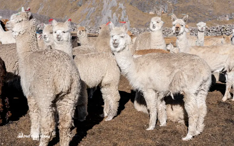
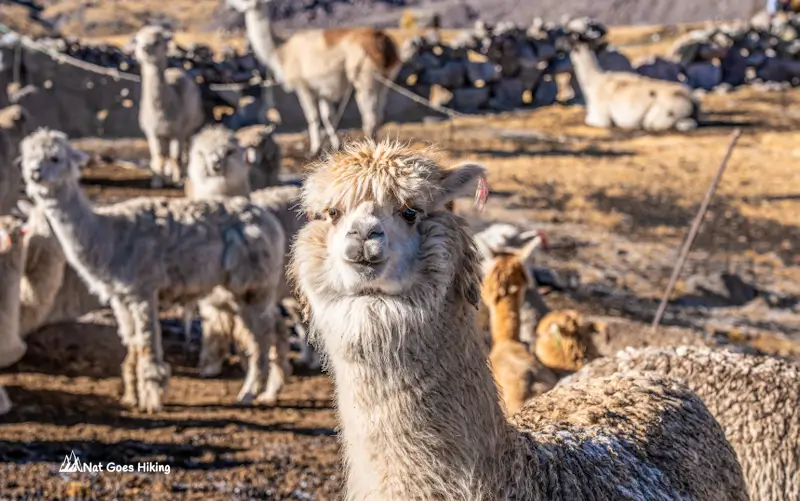
Shortly before reaching the first lakes, we passed a local family home that had a large herd of alpacas. It felt like one of those classic Andes moments where you stop walking simply because the scenery doesn’t look real.
Hatun Puka Cocha and Huch’uy Puka Cocha
The first three lakes are clustered close together, making this one of the most rewarding sections of the hike. According to our GPS track, these three lakes are located at an altitude of around 4,580–4,600 m (15,026–15,092 ft).
What immediately confused us was the signage. Unless we completely misunderstood something, the signs appeared to be swapped.
The sign for Hatun Puka Cocha, which translates to Big Red Lake, was placed beside the smaller lake, while the sign for Huch’uy Puka Cocha, meaning Small Red Lake, was beside the larger one.
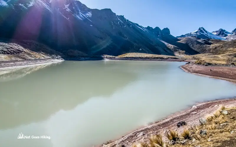
The colours also weren’t what we expected. Despite their names, neither lake looked particularly red when we visited.
Huch’uy Puka Cocha had milky grey water with reddish shoreline sediments, while Hatun Puka Cocha appeared green. Only parts of its shoreline had reddish tones.
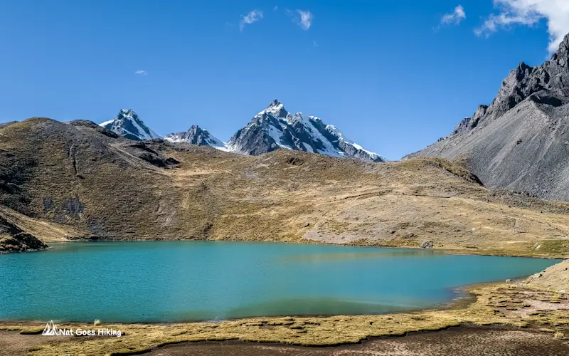
The best views of both lakes come a little later from higher up on the trail. Looking back from above, you can see Hatun Puka Cocha, Huch’uy Puka Cocha and Oqe Cocha all sitting together beneath the surrounding mountains.
Oqe Cocha
Oqe Cocha sits immediately beside the two red lakes. The name translates to Lead Lake, although the water wasn’t grey when we visited. Instead, it had a deep green colour that changed depending on the angle of the light.
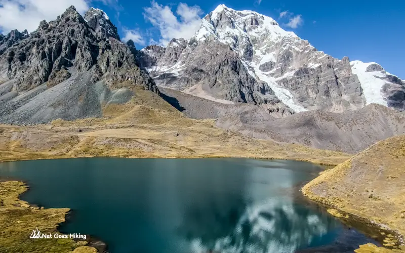
After passing the first three lakes, the trail climbs steeply towards the highest point of the hike. This is the toughest section of the day, gaining around 200 m /660 ft in a relatively short distance.
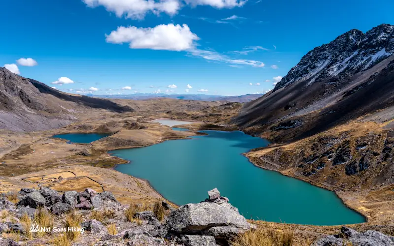
Once you reach the high point at 4,808 m (15,774.3 ft.), the rest of the route gradually descends towards Pacchanta.
Alqa Cocha
Soon after reaching the highest point of the Ausangate 7 Lakes Hike, we started descending towards Alqa Cocha. From the pass, it was only about 500 m (1,640 ft) away and roughly 50 m (165 ft) lower in elevation.
On some maps, including AllTrails, you’ll see this lake labelled as Tika Cocha. But most of the maps don’t even mention the name of this lake.
This lake doesn’t get nearly as much attention online as Azul Cocha, and many tour companies barely mention it. But honestly, if I had to choose a favourite lake from the entire hike, it would be Alqa Cocha.
The name translates to “Two-Coloured Lake” in Quechua, and it couldn’t be more accurate. It genuinely looks like two completely different lakes connected together.
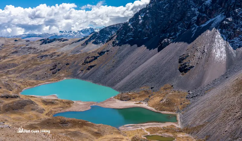
The larger section has an unreal milky turquoise colour that almost looks photoshopped. The colour comes from glacial flour, tiny particles of rock suspended in the water after glaciers grind against the surrounding mountains.
The smaller connected lake couldn’t look more different. Its water has a much deeper jade-green colour.
Standing above the lake, the contrast between the two colours is incredible. We ended up spending far longer here than planned, just taking photos and staring at it.
Even now, when I think back to the hike, this is the lake I remember most.
Sonqo Cocha
About 800 m (2,625 ft) further down the trail, we reached Sonqo Cocha.
It’s a relatively small lake sitting beneath the rugged peaks of the Ausangate massif. The name comes from the Quechua word “sonqo”, meaning heart.
To be honest, I wouldn’t say it’s a perfect heart shape. But when you look at it from above, you can definitely see how it got its name.
Compared with Alqa Cocha, Sonqo Cocha is much more subtle. The colours are softer, with muted greens and golden tones rather than bright turquoise water.
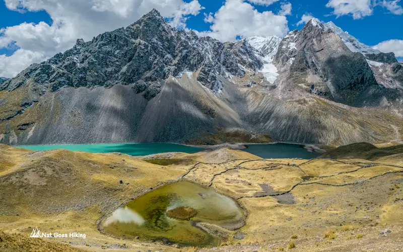
What makes this spot special isn’t necessarily the lake itself. It’s the view. From the trail above Sonqo Cocha, you can see Alqa Cocha below, backed by dark jagged mountains and hanging glaciers. For me, this was one of the most photogenic viewpoints on the entire Ausangate 7 Lakes route.
Yana Cocha
Around 750 m (2,460 ft) beyond Sonqo Cocha, the trail passes Yana Cocha.
“Yana” means black in Quechua, so the name translates to Black Lake.
That wasn’t what we saw. When we visited, the lake had soft yellow-green tones created by aquatic plants growing beneath the surface. It looked nothing like a black lake.
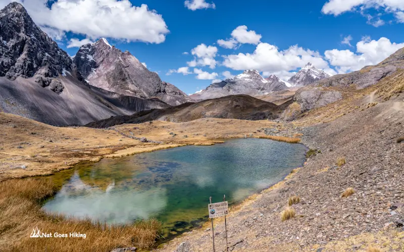
Maybe it appears darker under different weather conditions or at another time of year. Mountain lakes can look completely different depending on the light.
Yana Cocha sits right beside the trail, making it one of the easiest lakes to access on the route. It’s not as dramatic as Alqa Cocha, but the surrounding scenery more than makes up for it. The lake sits beneath steep mountain slopes, and this section of the hike felt especially wild and remote.
Qomer Cocha
Qomer Cocha was the final lake we saw on the hike.
Its name means Green Lake in Quechua. But when we arrived, clouds had rolled in and covered the sun, turning the water a deep green so dark that it almost looked black from a distance.
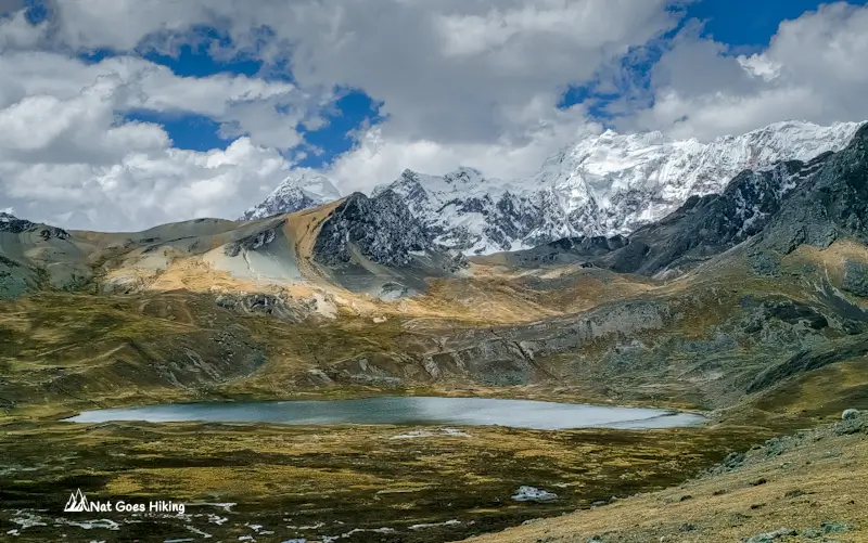
Qomer Cocha sits about 500 m /0.3 mi off the main trail. Normally, I would have made the detour, but after a full day at altitude and seven lakes already behind us, we decided to admire it from above and keep moving. Sometimes you have to pick your battles.
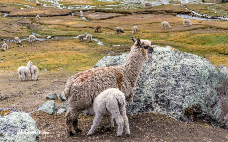
Not long after passing Qomer Cocha, the landscape changed completely. The rocky terrain gave way to a broad green valley filled with grazing alpacas.
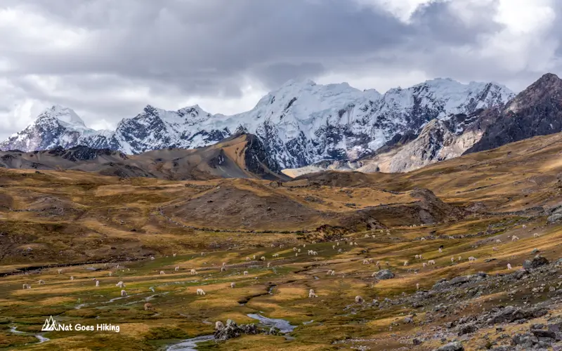
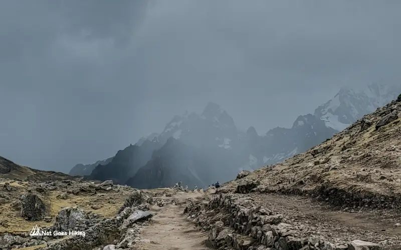
The changing weather had been creeping in since Qomer Cocha, where clouds began gathering over the surrounding peaks. By the time we were approaching Pacchanta, the temperature had dropped noticeably, and the sky had turned dark. Not long afterwards, it started snowing, despite it being the dry season. It’s a good reminder that conditions in the high Andes can change quickly.
How Difficult Is the Ausangate 7 Lakes Hike?
The Ausangate 7 Lakes Hike isn’t a technical hike. On paper, it sits in that moderate day hike category. Nothing too dramatic. No scrambling. No exposed ridges. No sketchy sections where you’re questioning your life choices.
It’s roughly 18.2 km (11.3 mi), with about 600 m (1,970 ft) of elevation gain. So yeah, nothing outrageous if you’re used to hiking.
But the real challenge is the altitude. You start in Pacchanta at around 4,300 m (14,108 ft) and climb up to roughly 4,800 m (15,748 ft) . And up there, everything feels different. Even small uphill sections can hit you harder than expected. Your breathing gets shallow, your legs feel heavier, and your pace just naturally slows down whether you like it or not.
If you’ve already spent a few days in Cusco or done other high-altitude hikes in Peru, this will probably feel pretty manageable. That was our experience too. We were already acclimatised, so it honestly felt like a solid but comfortable day out.
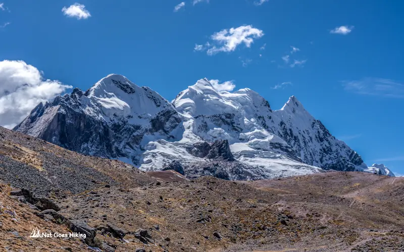
But if this is one of your first hikes above 4,000 m (13,000 ft)… it might surprise you.
The good thing is you’re only carrying a light daypack, which makes a massive difference. No camping gear. No heavy load dragging you down. That alone keeps it in the doable range.
One thing worth noting is that we did the hike in August, right in the middle of the dry season. The weather was honestly perfect that day. No rain, no snow, barely any wind, and it wasn’t too cold either. That definitely made the hike a lot easier.
But towards the end, as we were already getting close to finishing the trail, the weather flipped pretty quickly. It got colder, clouds rolled in, and it actually started snowing.
It made me think how different this whole experience could be in bad conditions. If you caught this hike on a windy or snowy day, especially at that altitude, it would feel like a completely different challenge.
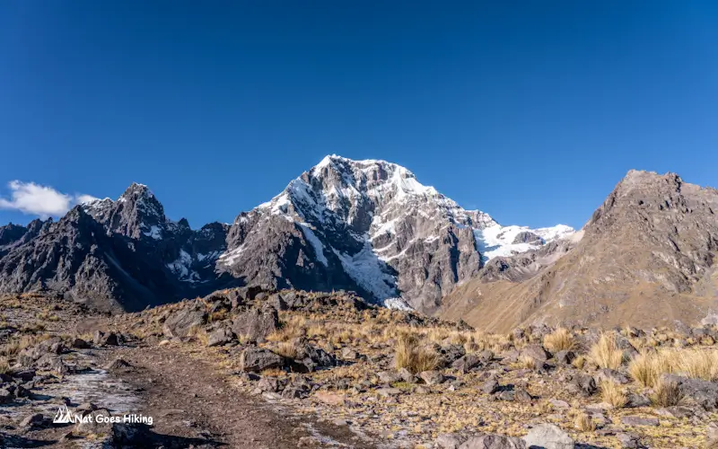
One thing I really liked about the Ausangate 7 Lakes hike was that the effort-to-reward ratio felt incredibly high. You get epic mountain scenery, glacial lakes in different shades of blue and green, alpacas scattered across the valleys, and then hot springs waiting for you back in Pacchanta at the end. All in one day. No multi-day suffering required.
Tour vs. Self-Guided: Is it worth doing without a tour?
If you’re planning the Ausangate 7 Lakes Hike from Cusco, this is usually the big question: do you join a tour or go independently?
Both options are possible. Getting there on your own isn’t complicated either. You can take public transport from Cusco to Tinki, and from there it’s just a short taxi ride up to Pacchanta, which is where the trail actually starts.
In Peru, day tours are often really cheap, so in many cases it feels like the obvious choice. Multi-day treks are different, but for day hikes like this, the price gap isn’t always as big as people expect.
We did the Ausangate 7 Lakes Hike without a tour, and I’ll be honest, it wasn’t the cheapest option. But it was a very different experience.
Ausangate 7 Lakes Without a Tour: Cost Breakdown
Below is a breakdown of our 2-day independent trip from Cusco to Ausangate 7 Lakes in August 2025. Our total came to S/147 (US$43.4) per person, including entrance fees.
Ausangate 7 Lakes Without a Tour: Cost Breakdown (2 people)
🚌 Transportation
- Taxi to bus station in Cusco: S/10
- Bus from Cusco to Tinki: S/10 × 2 = S/20
- Taxi from Tinki to Pacchanta: S/50
- Taxi from Pacchanta to Tinki: S/40
- Bus from Tinki to Cusco: S/10 × 2 = S/20
🎟️ Entrance Fee
- Entrance fee: S/20 × 2 = S/40
🏨 Accommodation
- Hostel in Pacchanta (incl. WiFi & hot spring pool): S/25 × 2 = S/50
🍜 Food
- Lunch in Tinki: S/7 × 2 = S/14
- Dinner in Pacchanta: S/15 × 2 = S/30
- Breakfast in Pacchanta: S/10 × 2 = S/20
Is going without a tour actually cheaper?
Not really. When you compare properly, tours for the Ausangate 7 Lakes hike from Cusco usually sit around S/100 per person, not including entrance fees.
If you strip our costs down the same way (excluding entrance fee), our independent trip came to about S/127 per person.
So in our case, going self-guided was actually a bit more expensive, mainly because of the overnight stay.
If your only goal is saving money, don’t assume independent is automatically cheaper.
So why do it without a tour?
Because the experience changes completely. It’s not really about price. It’s more about control vs convenience.
With a tour, your day is locked in:
- fixed departure time from Cusco
- fixed itinerary
- fixed stops
Self-guided means you can:
- start earlier to avoid hiking with the tour groups or choose any start time
- adjust your itinerary according to your preference
- hike at your own pace
- you can stay longer at the lakes without watching the clock.
When we did this hike, we left early in the morning from Pacchanta early in the morning, about 5.40 am, and didn’t see any other tourists, we only met locals with their alpacas, and a group of muleteers on the way to set up a camp for a group doing the Ausangate multi-day hike.
But also when making a decision, keep in mind that this hike is nowhere near as crowded as places like Vinicunca Rainbow Mountain. So even if you go with a tour, you’re not dealing with massive crowds.
When Is a Tour the Better Option?
We enjoyed doing the hike independently, but there are definitely times when a tour is the better option:
- You only have a limited time in Cusco, and want to make the most of your time
- You don’t want to deal with transport logistics
- You’re not confident hiking at very high altitude (around 4,500–4,800 m /14,800–15,750 ft).
- You’d rather have someone else organise the day while you simply enjoy the scenery.
Best Time to Visit Ausangate 7 Lakes
If you’re planning the Ausangate 7 Lakes Hike, timing matters more than you might think. The weather doesn’t just affect whether the hike is enjoyable or not. It can completely change the colour of the lakes, the views of Ausangate, and the overall experience.
Dry season (May to September) is the best time
Best time to do Ausangate 7 Lakes hike and any other hike in the Andes is during the dry season which runs from May to September. This is when you’re most likely to get:
- Clear blue skies
- Stable weather in the high Andes
- Better views of Ausangate and the surrounding peaks
- More vibrant lake colours (turquoise, green, deep blue depending on minerals and light).
That said, “dry season” doesn’t guarantee perfect weather.
The Andes can be incredibly unpredictable. We did the hike in August, right in the middle of the dry season. The morning started with clear blue skies and fantastic visibility. By late morning, clouds had started rolling in. Then, as we were getting close to Pacchanta in the afternoon, the temperature dropped, dark clouds moved over the mountains, and it began snowing.
It was a good reminder that conditions can change quickly at high altitude.
Because of that, I’d strongly recommend starting as early as possible. Mornings usually offer the clearest skies, the best views, and the most stable conditions.
Shoulder Season (April & October)
April and October are often overlooked, but they can be a great compromise.
You can still get decent weather and good visibility, while enjoying:
- Fewer visitors than during peak dry season
- Still decent visibility on many days
- Greener landscapes
The weather is less predictable than during the dry season, but if you’re looking to avoid the busiest months, these shoulder-season months can be a really good option.
Wet season (November to March)
During the wet season, you’ll find:
- Far fewer tourists
- Lush green valleys
- Dramatic clouds around the Ausangate range
However, conditions are much less reliable.
Expect:
- Frequent rain
- Snow at higher elevations
- Muddy or slippery trails
- Reduced visibility
The biggest downside is that you may not get to see the lakes at their best.
The Ausangate 7 Lakes are famous for their colours, but under thick cloud cover or rain, those vibrant blues and greens can disappear completely. On a bad day, some of the lakes can look surprisingly grey and flat.
Ausangate 7 Lakes Hike FAQ
Yes. The Ausangate 7 Lakes Hike can be done independently using public transport from Cusco to Tinki, followed by a taxi to Pacchanta. The trail is relatively straightforward in good weather, and there is no requirement to hire a guide. If you’re reasonably fit, acclimatised, comfortable using public transport in Peru, and confident navigating mountainous terrain, completing the hike without a guide is very doable.
The Ausangate 7 Lakes Hike starts in Pacchanta at 4,300 m (14,108 ft). The highest point on the loop, near Alqa Cocha, reaches 4,808 m (15,774 ft). This makes it a genuinely high-altitude hike, so I strongly recommend spending at least 2–3 days acclimatising in Cusco before attempting it.
The Ausangate 7 Lakes Hike starts in Pacchanta, a small Quechua community located about 120 km (75 miles) southeast of Cusco. There are several basic hostels in Pacchanta if you want to stay the night before or after the hike.
1. Take a bus from Cusco to Tinki. Buses depart from Av. Tomasa Tito Condemayta in Cusco. The journey takes around 3.5 hours and costs approximately S/12 per person.
2. From Tinki, there is no public transport to Pacchanta, so you’ll need to take a taxi. Expect to pay around S/40–S/50 for the 12 km journey, which takes about 30 minutes.
Yes, there is an entrance fee of S/20 per person. The checkpoint is located on the road between Tinki and Pacchanta. Don’t worry about missing it, the staff at the checkpoint will make sure to stop your taxi. Only cash is accepted, so be sure to bring enough with you.
Bring everything you need for the hike. We didn’t see any food or drinks being sold on the trail. There is a small shop in Pacchanta where you can buy snacks and drinks before setting off, and we bought electrolyte drinks at our hostel. However, if you’re planning to start hiking shortly after arriving in Pacchanta, it’s best to stock up in Cusco, as the shop isn’t really on the way to the trailhead.
Absolutely. It’s one of the best day hikes in the Cusco region and nowhere near as crowded as Rainbow Mountain. Colourful glacial lakes, views of Ausangate, cute alpacas, and hot springs waiting at the end – it’s a pretty hard day to beat.
Related Posts on Peru and Bolivia
Want more inspiration for travel in Peru and Bolivia? Check out these posts:
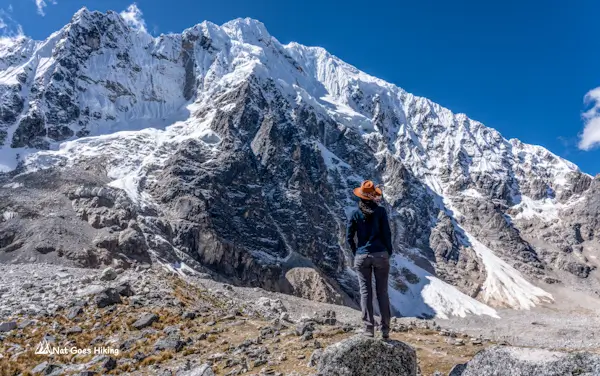
The Salkantay Trek is one of Peru’s best alternatives to the Inca Trail. In this guide, I break down each day on the trail, costs, difficulty, packing tips, and what it’s really like from my own experience hiking it.
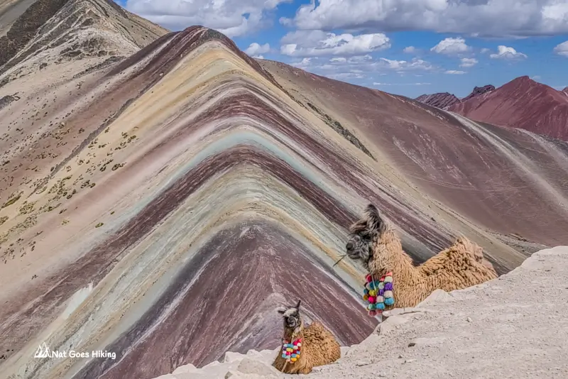
Planning to visit Vinicunca Rainbow Mountain? Here’s how I avoided the crowds at Rainbow Mountain, plus tips on going independently from Cusco.
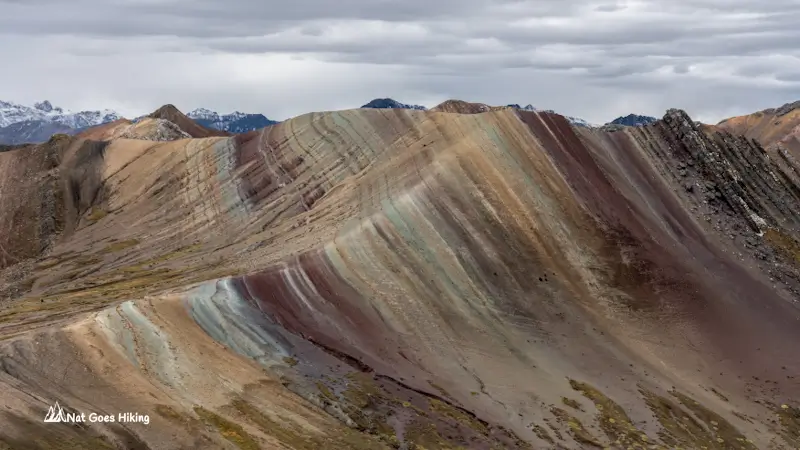
Looking for a quieter alternative to Vinicunca? Palccoyo offers multiple rainbow mountains, easier hiking, and far fewer crowds. Read my complete guide on how to visit without a tour.
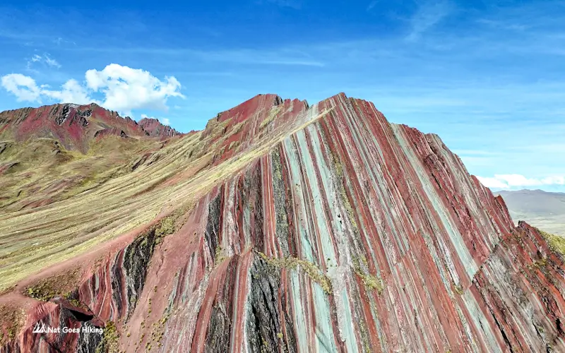
Want more inspiration for travel in Peru? Discover Pallay Punchu, an off‑the‑beaten‑path alternative to Rainbow Mountain you can visit without a guide.
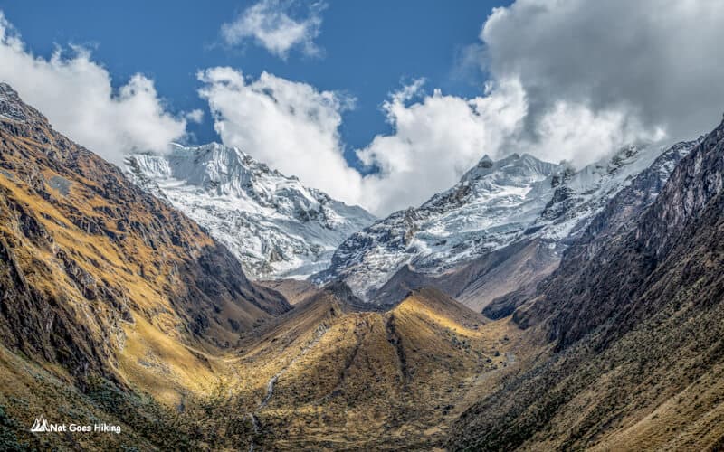
Want to hike to Machu Picchu without a guide? Choquequirao Trek is a great alternative to the Inca Trail. Learn everything you need here.
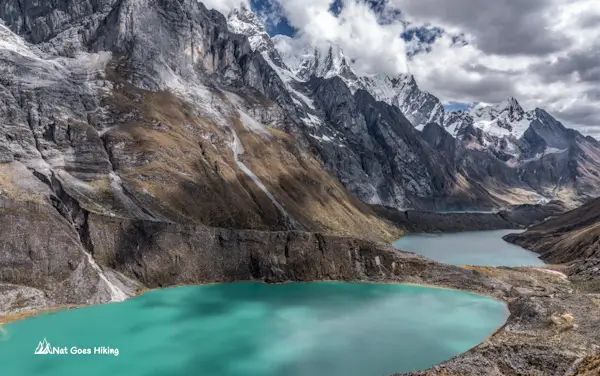
Short on time for the full Huayhuash Circuit? This 4-day mini Huayhuash Trek without a guide still includes some of the trek’s most iconic views.
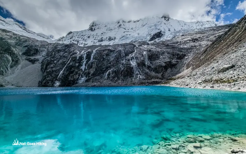
I hiked the Laguna 69 Hike in July 2025. Here’s what the photos don’t show: trail conditions, crowd levels, new 2026 access rules, costs, and more.
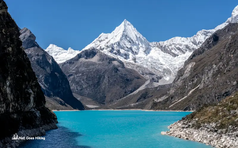
Planning hiking in Huaraz? Find the best day hikes and multi-day treks near Huaraz, including Laguna 69, Parón, Santa Cruz and Huayhuash with practical travel tips.
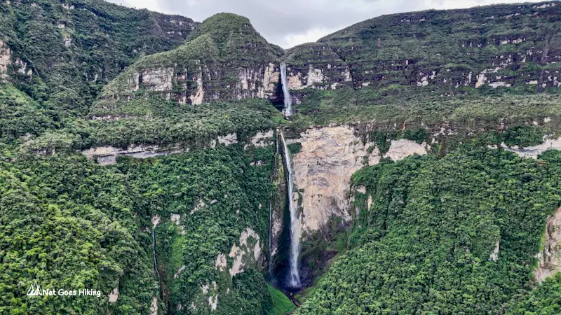
Planning the Gocta Waterfall hike? Learn about the trail, entrance fee, tour vs independent hike, costs, best time to visit and practical tips based on our July 2025 visit.
Sajama National Park is Bolivia’s hidden gem. This travel guide covers what to do, how to get there, where to stay, and useful tips from our experience.
Planning a trip to Salar de Uyuni? Discover what to expect, the best time to visit, and whether to go independently or join a tour..
Although Bolivia is one of the most underrated countries, it has so much to offer. Wondering what the top things to do in Bolivia are?